Outdoor Navigation for Wheelchair Users

Heiko Bornholdt
Senior Research AssistantToday’s post is about the just finished master project lecture about smart cities at Universität Hamburg. The project’s goal was the prototypical implementation of a navigation solution for wheelchair users. For this purpose, a suitable route was selected with a wheelchair-friendly surface. The data required for navigation is automatically collected by a sensor box that can be attached to wheelchairs. This data is exchanged from wheelchair user to wheelchair user with the help of drasyl.
Project Description:
In this project, a road map with information about accessibility will be created, on the basis of which wheelchair users can be navigated on accessible routes. For this purpose, sensor data will first be collected and conclusions about soil characteristics and possible obstacles will be drawn with the help of machine learning methods. Crowdsourcing collected sensor data can then be used to create a digital, barrier-free road map.
Since movement data is particularly requiring protection, the routes traveled should be managed decentrally by the wheelchair users themselves and only released to services (such as a map representation, barrier-free routing, indoor routing, etc.) through active consent. Thus, the tasks range from the hardware-related development of the sensor technology on the wheelchair, through a decentralized network for the management and distribution of the data, to sample services that use the data.
Get in touch with us if you want access to further information.
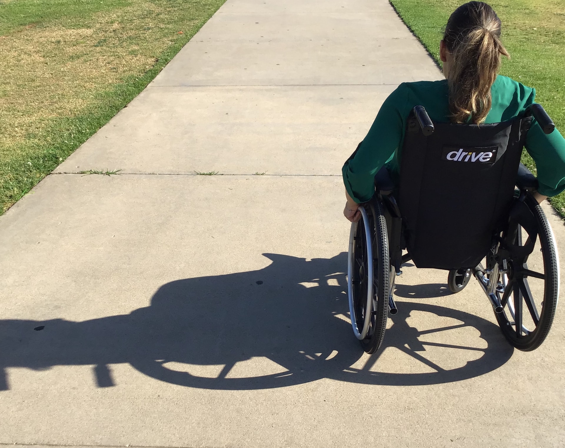
Photo by Nayeli Dalton on Unsplash